NEDRP – GeoData Analytics: Data Driven Decision Making
NEDRP is one of the most enhanced form of GeoPortal realized in a three tier service oriented incremental architecture populated with GeoData derived using GeoData Analytics and Machine Learning (ML) Tools.
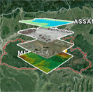
GeoData Analytics: NEDRP is populated with 3500+ Geospatial layers generated from various sources of satellite data with different spatial/spectral resolution. It includes CARTOSAT-I, RESOURCESAT-2, ETM+, HYPERION etc. It also uses high resolution QUICKBIRD sensor data including very high resolution aerial images from Drones/UAV (BIG GeoData). Generation of GeoData involves the extraction of meaningful information via visual/digital interpretation/classification using various GeoInformatics as well as ML techniques and tools. Specifically, processing of high dimension GeoData sources requires advanced ML approach like SVM, Random forest, ANN/MLP for extraction of meaningful information for decision making process. In addition, a number of feature extraction tools like PCA/MNF/CFS are required for dimension reduction of data both in spatial as well as feature space. A number of FOSS (QGIS/Weka/Python/R) and COTS (ArcGIS/ENVI/Erdas) software are being used for generation/updation of GeoData. Spatial models powered by spatial as well as fuzzy overly analysis were used for site suitability analysis (LiveGIS of NEDRP).
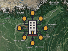
NEDRP aggregates data (spatial and non-spatial) from various sources for visualization via GeoPortal with decision making tools. Governance Application of NEDRP also captures live feeds of data posted via Mobile Apps for monitoring activity (ElectionGIS). It enables integration of satellite/Drone image and video on the GeoTagged information (nec.nedrp.gov.in).
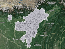
WebGeoXplorer: Ensemble of 101 district GeoPortals are showcased in a single window platform using open source MS4W (Map Server/map Cache-Apache-PHP) software bundles for efficient and effective dissemination of various services (WMS-WFS-WPS). Powerful GeoServer based architecture integrated with GeoJSON/Leaflet Technology is used for development of various Governance Applications (ElectionGIS/NEC Project Monitoring etc.) with enhanced/optimized rendering of maps/satellite images as well as to capture the live feeds of real-time data from Mobile Apps. The entire architecture is responsive and incremental in nature to catalogue various Governance Applications without disturbing the current configuration.
List of major publications:
1. Geo Portal on North Eastern District Resources Plan to support effective Governance applications, Journal of Administrative Reforms on Minimum Government - Maximum Governance, Vol. IV(1), January-June, 2018
2. Towards generation of effective 3D surface models from UAV imagery using open source tools, Current Science, 114(2), 314-321
3. An effective Ensemble Classification Framework using Random Forests and Correlation Based Feature Selection Technique, Transaction in GIS, 20(4):463-490, doi: 10.1111/tgis.12164.
4. A model on achieving higher performance in the classification of hyperspectral satellite data: A case study on Hyperion data, Applied Geomatics(Springer), 6(3), 181-195.
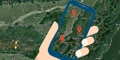
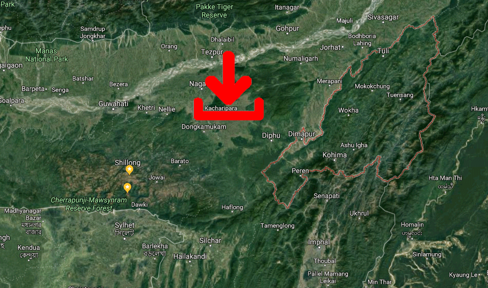
5. A Novel Geospatial Approach for Identifying Optimal Sites for Setting-up of Mobile Telecom Towers strategically, Geomatics, 10(2), 192-198.
6. Dynamic Shortest Route Finder using pgRouting for emergency management, Applied Geomatics (Springer), DOI 10.1007/s12518-015-0161-4 (2015)
7. Effectiveness of Fuzzy Overlay Function for Multi-Criteria Spatial Modeling—A Case Study on Preparation of Land Resources Map for Mawsynram Block of East Khasi Hills District of Meghalaya, India, Journal of Geographic Information System, 6(6), 605-612.